Insights from imagery
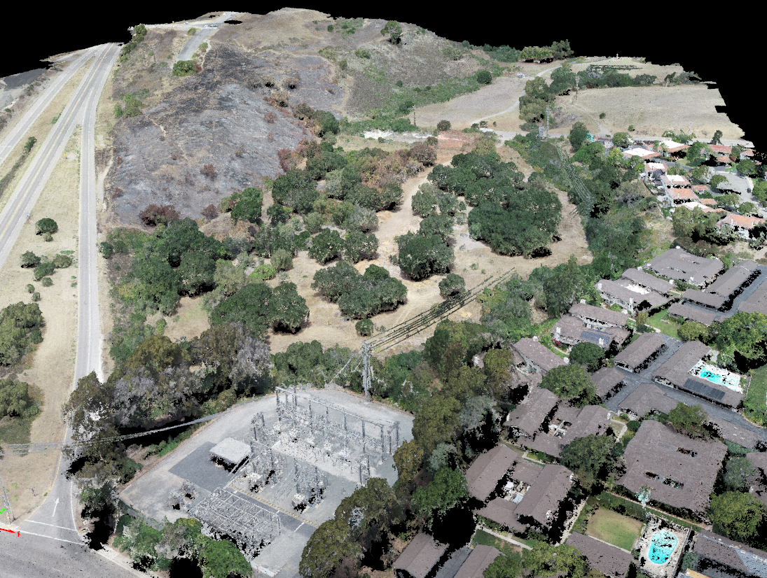
Satellite, drone mapping and environmental data analyses for natural resource conservation, sustainable development, drought and wildfire hazard mitigation. Wildfire mitigation projects led by NFPA-Certified Wildfire Mitigation Specialists.
Project Areas
Our remote sensing, GIS and environmental data analyses address questions and applications for forest and water resources conservation, wildfire hazard mitigation, climate and ecosystems science applications, and drone/UAS (unmanned aerial system) systems and operational research.
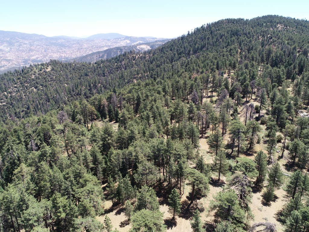
Ecosystem Health: Forests, riparian corridors & rangelands
Mapping of vegetation cover, community, structure and condition to inform forest health, invasive species management and restoration projects.
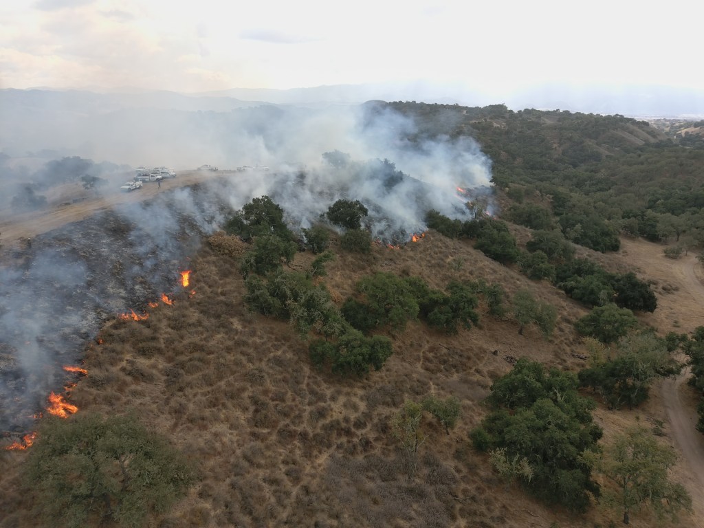
Wildfire hazard and risk mitigation
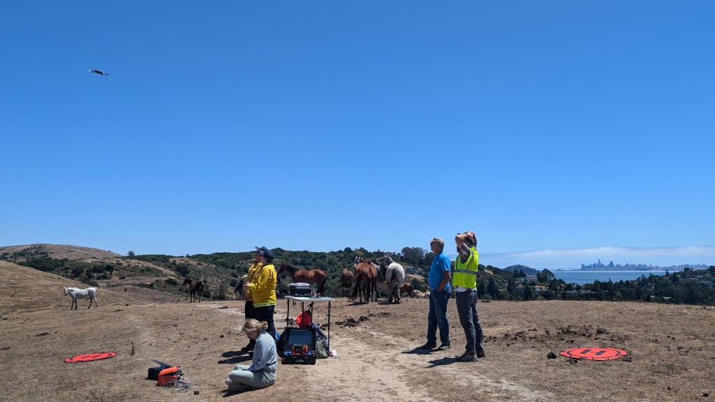
Vegetation and infrastructure mapping, hazardous fire weather assessments, and geospatial prioritization analyses to inform fuels reduction and defensible space planning at parcel to landscape and regional scales. Services include prescribed fire operational support, with UAS-based thermal overwatch during fires, and pre- versus post-fire fuels treatment effectiveness monitoring. Available for consultations or support on Community Wildfire Protection Plans.
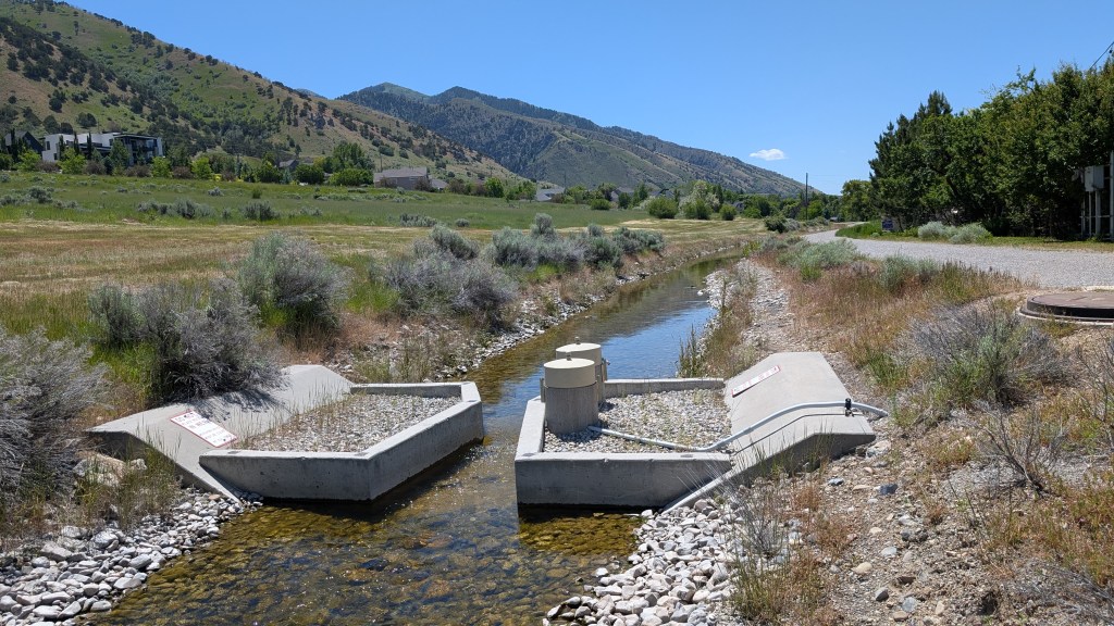
Water and soil conservation
Vegetation water use and soil cover assessments from field to watershed scales. Services include UAS mapping of cropland, orchards and rangelands, and irrigation and water system mapping with high-accuracy field GPS data and UAS mapping. Available for mapping and GIS modeling to support nutrient management, integrated pest and irrigation water management plans.
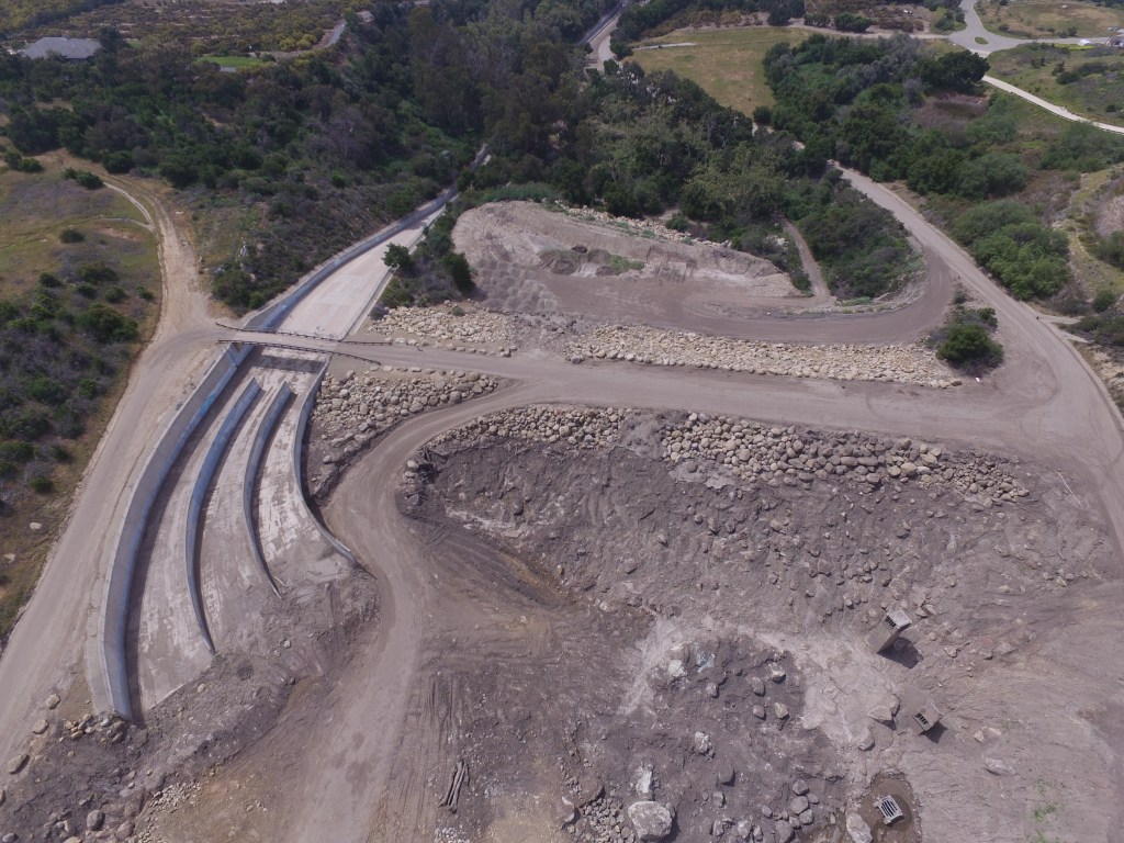
Infrastructure monitoring
2D mapping and 3D modeling for construction and/or maintenance documentation, building information monitoring (BIM), and landscaping projects.
Award-Winning Work in 2025
KaiGeoCON
KaiGeoCon: Kaizen with Geospatial Conservation Technology. Our training programs and analysis products for fuel treatments and defensible space assessments, combining UAS imaging, remote sensing and mobile GIS technology applications, can be tailored for public agencies, conservation and community organizations. KaiGeoCon was recognized as one of twelve international finalist innovations in wildfire tech by Conservation X Labs in the Fire Grand Challenge. Contact us to learn more about KaiGeoCon engagement opportunities with your agency, organization or community.
working across the western U.s. and north america
Contact for more information
mthomasmayes [at] gmail [dot] com

